Friday, July 24, 2020

Rafting the Standard Mica Mine


I am fascinated by the variety of old mines hidden within our mountains of New Hampshire. Up until 10 years ago the only one I could have definitively named was Ruggles, but a lot has changed in this last decade and I've made it my curious mission to locate and explore as many of these treasures as possible, focusing mainly on the ones with underground workings. To date I have found and explored over 60 underground mines within our state, and with a solid lead on several dozen more I expect this database to surpass 100 in the years to come.

Worked on and off for a period of 75 years, at its peak the Standard Mica Mine of Grafton County employed 50 men and produced 3-5 tons of mica per day. It consisted of two open pits, the largest being 50 feet deep and 200 feet across, and contained two adits driven into its southwestern end. The site was mapped in 1944 and determined to have a pegmatite of over 950 feet in length. In technical terms, a pegmatite is a rock formed by lava or magma that is filled with minerals such as quartz or mica. In my own terms, a pegmatite is a rock formed when the earth belches up some of its innards, and with it comes a whole bunch of shiny stuff.
Pegmatite Investigations 1942-1945 New England


Google Earth is of little help when looking for a mine consisting of just one tunnel, but go searching for one that is attached to a 200 foot pool of water and you can spot those suckers from the comfort of your living room. That is exactly where I was when I first pinpointed this one.


But even though I knew the mine's location, I still had the unknown of what I might find in the woods on my hike to it. Sometimes that is nothing. But other times, such as on this day, it can be an abandoned and destroyed RV sitting in the middle of nowhere.


Once reaching the mine I spent some time walking around and scoping the area, as well as making sure I was by myself. It's rare to come across anyone when you're out at these remote locations, but it always gives you a jolt when you do. I was alone on this day, but I found this handful of toys that showed I'm not the only person who considers this a pretty cool spot to hang out.


Soon after I found myself standing at the edge of the quarry and staring wistfully across. Although the water level had obscured the left-side chamber to where only its very top was noticeable, the right-side chamber was still partially open. I realized I had a decision to make.


There was a flooded quarry, a chamber on the far side of the water, and a raft that could possibly get me there. For anyone who's ever gone adventuring with me you know this was a foregone conclusion the moment the thought entered my head. Out of my pockets came the electronics, into the water went the raft, and for lack of anything even close to resembling a paddle I grabbed the longest branch I could get my hands on and cast away.

I'm a fairly strong swimmer, so in my mind the worse case scenario was that the raft would deflate or capsize and I'd have a wet and smelly ride home. But that certainly wouldn't be a first. I made it safely to the chamber - which was just big enough for me to park the tube in - and hung out for a while before eventually returning to shore. Everything went right with this voyage except for one thing - immediately after casting off my camera had tipped over, so the only thing I had to show for my troubles was a fifteen minute video of the clouds.

For the second time I had a decision to make, and for the second time it wasn't even up for debate. I set my camera back up - more securely this time - then set sail on my second voyage of the day.


Not that there was anything to see inside the chamber, but I don't sleep well unless I physically enter every spot I'm capable of on an exploration. I made it back to solid ground without a drop of water on me, and now I could call my adventure to the Standard Mica Mine complete. And for the kids who's raft I borrowed that day, if our paths should ever cross I owe you each a couple beers. Or depending on how old you are, a couple of sodas.


Saturday, June 27, 2020

Brookline's Outdoor Sculpture Park


Even if you've never heard of an outdoor sculpture park, you can probably form a good idea of what one is just by hearing the term. And I think you'd be right. The idea is to take two things that are each really cool in their own right - artistic creations and hiking through the woods - and combine them into a single afternoon of fun and adventure.


Brookline's Outdoor Sculpture Park, officially known as the Andres Institute of Art, was founded in 1996 by philanthropist Paul Andres and serves to "provide a place in which individuals may experience art and nature in tandem." Their Facebook page describes them as "always open", and with 140 acres they've been able to expand to more than 90 exhibits and counting while still leaving plenty of room for social distancing.


There is no charge to visit here - your only costs are going to be the gas it takes you to make the drive plus a small donation should you choose to leave one. Nor does anyone actively work here. Just show up and grab yourself a map to begin your self-guided hike, and prepare to see all ranges of exhibits. At one extreme will be things like this one that could almost be believed to be a curiosity of nature.


And at the other extreme will be those that have no earthly business in the woods of New Hampshire, exhibits that will leave you marveling at how someone got them out here to begin with.


Expect a few yuks out here, as well. Several exhibits do a good job of combining both talent and humor, such as this one where by the time I figured out what the joke was, it was on me.


But the day I can't come to a place like this and have some laughs is the day I no longer like fun, and our day soon turned into seeing what scenes we could create by interacting with each exhibit. In this one I was nearly tricked into trading my brand new cell phone for a chunk of rock.
 When Technology Meets the Stone Age

As the person who accounts for 100% of the hair in our relationship, my wife was the only one qualified to pose with this next statue. 
Mirror Image

We took this trip back in 2018 with our friends from WeRmudfun - two people who enjoy fun so much they included it in their name - and it turned out to be one of our most memorable adventures that year. If you'd like to see a little more of what Brookline's Outdoor Sculpture Park has to offer, watch this video Chuck & Cheryl recorded of our antics that day. But as you're watching it remember one thing, my day job is as an accountant, not an actor.


Friday, June 12, 2020

The Raymond Cliff Caves, Weare NH


Raymond Cave is in the side of Raymond Cliff, near Everett station. Its opening is large enough for a man to comfortably enter erect. For the first forty feet it is about twelve feet high and eight feet wide, then for the next forty feet it is of smaller dimensions. It is very cold in summer. The cave is formed of huge, angular blocks which have fallen from the cliff above.


In 1876 John Clough paid $16.76 in taxes for 339 acres of property he owned in eastern Weare, near the bordering town of Dunbarton. Although a pittance by today's standards, these taxes were something he paid for year after year to hold on to the land, refusing to sell despite many offers. Clough loved this area and feared that if he sold the land it would be logged, and in 1932 he deeded the property to the State of NH, forever preserving it. A subsequent lawsuit trimmed the state's portion down to 150 acres, but Clough would be happy to know that nearly 100 years after gifting it away we still have his former property to enjoy, now known as the Clough State Park.
 
We explored here during the beginnings of the Covid-19 craziness, back when seeing someone in the woods with a mask on would still make you look twice, and probably pick up your pace. We chose this location thinking there wouldn't be any crowds, and although we counted a few dozen cars in the parking lot there was enough open space for us to obey the six-foot rule before it was even a rule.

No matter which trail you start off with the first thing you're going to notice is the 2,000 foot long Hopkinton Everett Dam, situated smack in the middle of everything. Completed in the 1960s after years in the making, this 115 foot tall structure is part of the Hopkinton-Everett Lakes Flood Risk Management Project, a mouthful of a project put into place to end a series of devastating floods that rampaged this area in the first part of the 1900s.


Our son Logan joined us for this trip, but it wasn't to admire the engineering of the dam or for any history lessons. To the west of the park are the Raymond Cliffs, and they are loaded with all sort of rocks and ledges to climb on, one of his favorite pastimes that doesn't require a keyboard and a mouse.


And for anyone without a teenager of their own, when you go climbing with your 16-year old son this is their idea of waiting up for you.


Logan had his own motive for coming here, and my wife Tina did as well. I have taken her on some hellacious hikes over the years, but today meant an afternoon of walking on her perfect idea of what a trail should be - flat, near water, spacious, and most importantly without any bushwhacking.  


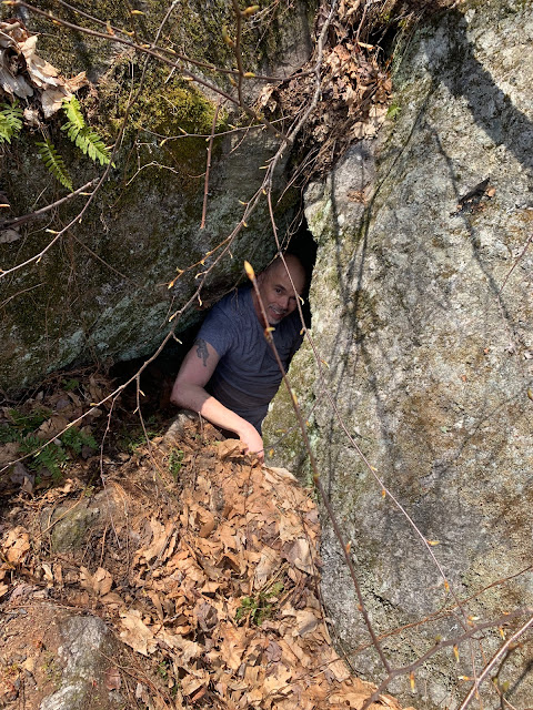
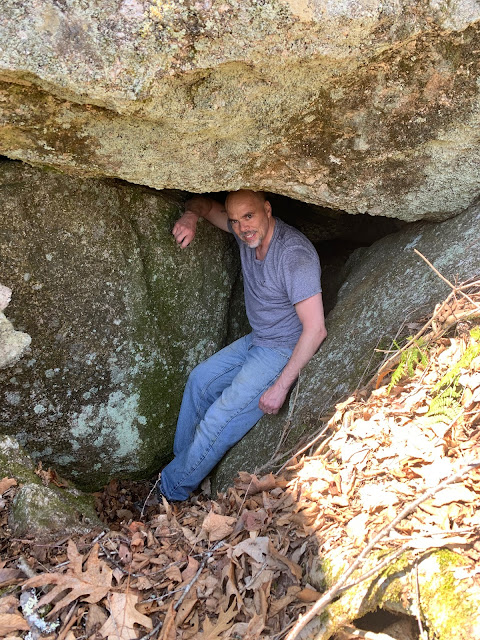
Then there was me - and I was here for the caves. These ledges are a playground for all sorts of caverns and cubbyholes to explore. Many are small like this one, dark places where you're apt to go eyeball to eyeball with a porcupine or something equally cuddly.


Other caves were much larger. Steve Higham mapped these ledges in the June 2017 edition of The Northeastern Caver, with three of them being large enough to qualify for a name. There is the Lower Carr Cave, the Devils Step Cave (a name you'll understand if you navigate its southern entrance), and the largest and most well know of this area, the Raymond Cave. It's a mid-size cave as far as New Hampshire goes, measuring 99 feet in length, and throwing in the historical aspect makes for a really cool place to explore.


After our afternoon of playing - I was able to find all three of the named caves - we still had one more quest to complete. John Clough left his mark on society by giving us all this land, but he left his mark in a more literal sense, as well. Look for the largest free-standing boulder at the base of the Raymond Cliffs, then take a walk around it toward its water-side. Although perhaps not as prominent as it was a hundred years ago, where he engraved his name on this boulder is still clear enough to read to this today: John Clough.


Clough State Park is one of those places where we hadn't even left the parking lot and we were already planning our next trip here. This is a beautiful and unique area that has something to offer for anyone who doesn't like spending their weekends on the couch. That describes probably every single one of our friends, and we look forward to introducing them to this place when, and hopefully not if, our world returns to normal.


References:

Friday, May 29, 2020

Pig Lane's Abandoned Community


We love a good hike, we love local history, and we love coming across random artifacts in the woods. Wrapped up in 365 acres of conservation land that was once home to several residences and a pair of mills - one grist and one shingle - Pig Lane of Strafford has each of these things and more. And in this era of each person walking around with their own personal six-foot safety zone, Pig Lane is far enough off most people's radar to make for a perfect afternoon in the woods.


A couple of questions might come to mind when you read the above paragraph. Where the heck did the name Pig Lane come from, and what the heck is a shingle mill? According to the History of Strafford County New Hampshire and Representative Citizens (1914), Pig Lane is a name that seems to have just always been there, and its origin has been lost to time. As for what a shingle mill is, Google had a much easier time with that question. Up until the 19th century when wooden roofs were a standard thing for most houses, there were mills designed for the sole purpose of making these wedge shaped shingles.

Our hike began at the main trailhead where Range Road and New Road meet, a lot just big enough for five or six cars if you park them creatively. A kiosk and map show the variety of trails and where most of the remnants are, but as we learned over the course of two separate hikes here, there's more out in these woods than what is shown on the map.


Probably the only mistake you can make is to take your first right at the four way intersection you'll encounter just minutes into the hike. It will bring you to the power lines and who knows where beyond this, but I can tell you from experience it won't be Pig Lane. After backtracking I eventually led our group to the Beaver Pond Loop, which after a marsh splits onto Foss Mill Trail, a beautiful river walk that winds along the Isinglass.


You might spot the remains of a foundation on the opposite side of the water, which is the former site of the Grey/Foss/Swaine Mill. Don't be tempted to try crossing for a closer look though, there's a much easier, and dryer, way to get there if you finish Foss Mill Trail and loop over the bridge.


This is where Pig Lane bisects the conservation property and where you'll start finding all the goodies shown at the kiosk. After seeing the mill - just a 220 foot walk down Mill Access Trail - our next detour was to the Foss Family Cemetery where we counted 13 fieldstone markers, none of which were engraved. Someone has figured out who is buried here though, for one stone was marked as a Civil War soldier, and another as a soldier from the Revolutionary War.


Perhaps the same person or group who marked these veteran's graves has also done a wonderful job piecing together other parts of Pig Lane's history. The next foundation we saw was the Swaine's house, where a sign shows you not only what that house looked like but tells the story of a flood that forced the family's evacuation out a second story window. Seems like there wouldn't be much left of the structure after that much water, but subsequent research told us the house actually survived this devastating flood and was lived in for many years afterward. Today, this is all that is left of it.


On the west side of Pig Lane you'll find what is labeled as a 1700's mill, and I'm still not clear on whether this one was the grist mill or the shingle mill. But I do know what it looked like. Stairs lead you down to the water, where along the way you'll find this sign showing the old mill and where to look for its remains.


Back on Pig Lane we continued north past a handful of foundations - which if you're a geocacher you'll want to pay close attention to - before finding a second cemetery which was not listed on the map. And unlike the earlier one that told us where the people were buried but not who they were, this cemetery told us who the people were but not where they were buried, as several of the engraved headstones have toppled from their original location.


One more off-the-map treasure our friend spotted was this vehicle deeper into the woods, and you can guess what we spent the next ten minutes doing. I though it looked like an old hot-rod from the sixties, but the heavy duty frame suggested it's probably the remains of a work vehicle.


Our final tally came to 4.6 miles and there were still some trails we didn't get to. But the ones we did were well groomed, had beautiful scenery, no crowds, and even held a few surprises. And unlike our more rigorous trails up north this system has no real climbing to speak of, making it an easy and unique afternoon in the woods that should appeal to explorers of all levels.